NCRGE Research with Geographic Alliances
The National Geographic Society’s Education Foundation has awarded the AAG a grant to involve several Geographic Alliances in the work of the National Center for Research in Geography Education, a research consortium led by the AAG and Texas State University.
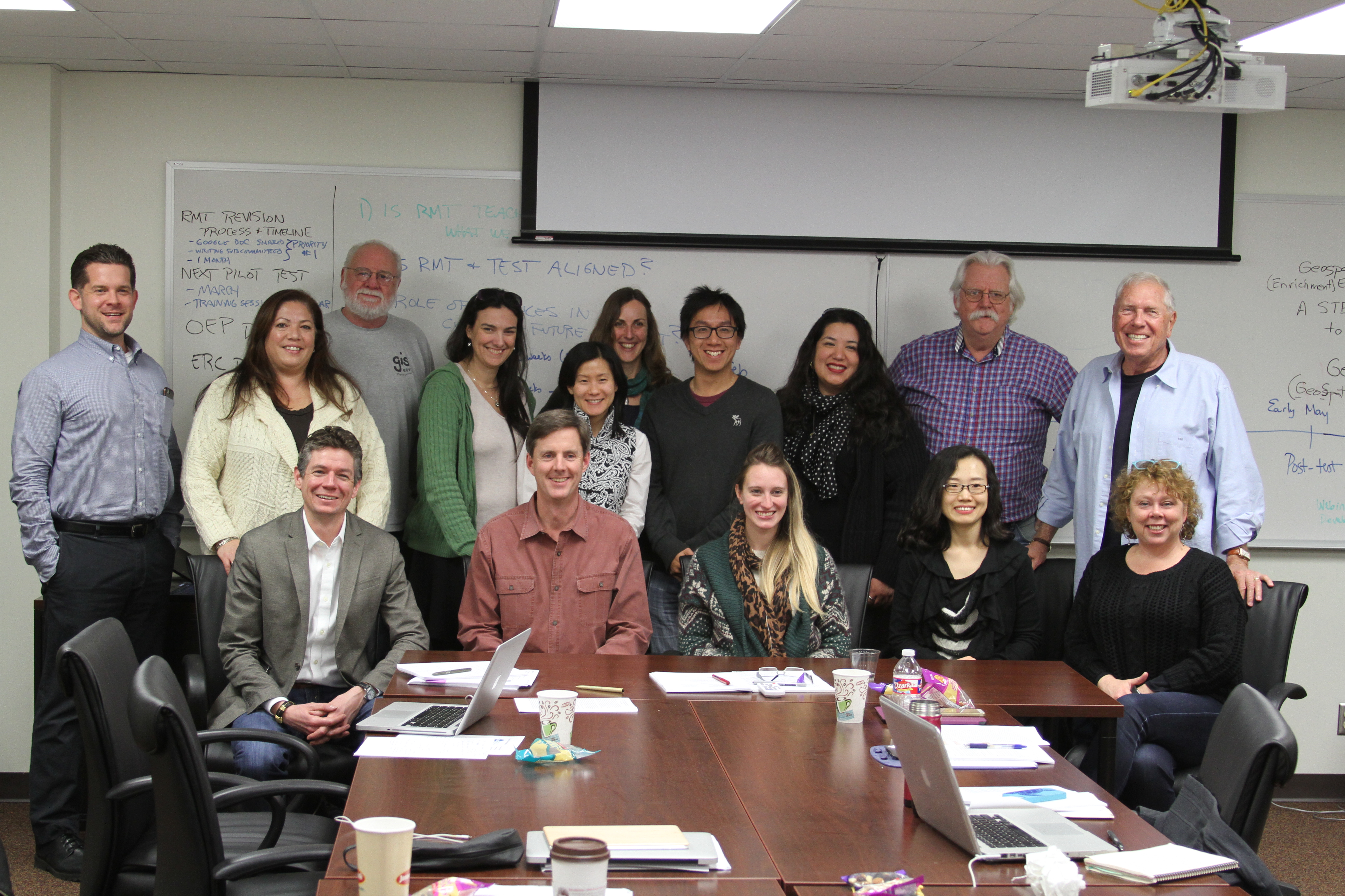
Last month, the Coordinators of the Alabama, California, Iowa, and Kansas Geographic Alliances met over two days with the NCRGE Co-Directors, Michael Solem and Richard Boehm, and several researchers associated with two current NCRGE research initiatives funded by the National Science Foundation: GeoProgressions, a capacity-buidling project for learning progressions research, and GeoSTEM (GeoSpatial Teaching Enrichment Modules), a pilot project that is supporting the Esri-ConnectED initiative by creating ArcGIS Online-based resources, materials and tools for STEM teacher education programs. The meeting produced plans for leveraging the participating Alliances’ extensive teacher networks in both projects.
For GeoProgressions, the Alliances will begin to lay the groundwork for the research activities planned for the project’s second phase that is tentatively scheduled to begin in the fall of 2015. This preparatory work will include geography and STEM teacher recruitment, submission of IRB research applications and engagement with the state education policymakers who oversee standards development and implementation. The goal is for the Geographic Alliances to help develop a diverse pool of teachers in several states who will be available to participate in GeoProgressions research on learning progressions for maps, geospatial technology and spatial thinking. This effort will also include Geographic Alliances from the states of Colorado, South Carolina and Texas.
Alliance Coordinators also proposed new research with the GeoSTEM project. At the Kansas Geographic Alliance, John Harrington will lead a three-year effort to develop and test a GeoSTEM module on agriculture. The goal is to increase the confidence and ability of pre-service agricultural science teachers in Kansas to deploy ArcGIS Online and other mapping technologies for spatial analysis and reasoning.
Dr. Alex Oberle, Coordinator of the Iowa Geographic Alliance, will extend the GeoSTEM project through new research partnerships with the Center for Educational Transformation at the University of Northern Iowa, the Iowa Department of Education, the Mid-Iowa School Improvement Consortium that provides curriculum and assessment for approximately 150 school districts, and the Governor’s STEM Advisory Council which includes six STEM “hubs” across Iowa. These relationships will considerably increase the number of pre-service teachers and schools impacted by the GeoSTEM project.
The California Geographic Alliance will build a geography education portal, rich in GeoSTEM curriculum and content in order to help connect K-12 classrooms to exciting online maps and mapping tools. Titled Geo-Quest, this education portal will take advantage of new web-based geospatial technologies to incorporate broad topical coverage, a high level of interactivity, and embedded content that will help teachers address standards and also meet the expectations of the Common Core standards. This work will be led by Kate Swanson (Alliance Coordinator), Thomas Herman (Director), Ming-Hsiang Tsou (Geospatial Technology Coordinator), Emily Schell (Education Program Coordinator), and Stuart Aitken (Academic Advisor).
The Alabama Geographic Alliance is creating a “GIS-Enhanced World Regional Geography” course which they are offering in partnership with the Department of Geography at the University of North Alabama, the Alliance’s host department and institution. Alliance Coordinator Dr. Lisa Keys-Mathews and two graduate students are creating the course which will be offered to high school juniors and seniors for college credit at three high schools in the fall 2015; a pilot study course was successfully offered in the fall 2014 to one high school. The course involves students in problem-based learning activities using geospatial technology tools, most frequently ArcGIS Online, to study and understand world regions and geographic concepts such as population growth, urbanization, economic development and globalization. The course is taught as a hybrid course where content and geospatial technology exercises are delivered online while a Teacher-Facilitator in the classroom leads student discussions and provides geospatial technology job shadowing and service learning opportunities. Student learning data from this project will inform future GeoSTEM materials aimed at high school teachers.
The AAG and Texas State University welcome inquiries from other Geographic Alliances, research institutions, universities and scholars interested in learning more about how to get involved and contribute to the NCRGE mission.
Leave a Reply