Workshop for GeoSTEM II
In the summer of 2015, the National Center for Research in Geography Education convened a workshop to advance preparations for a second phase of the GeoSTEM project. This effort was funded by a grant from the Sid W. Richardson Foundation.
The work began in April 2015 when instructional design consultants from the Agency for Institutional Technology were asked to create new geospatial Resources, Materials and Tools (RMTs) based on the GeoSTEM module format.
Intended for use in pre service university classes in math, science and social studies, the new modules focus on the following topics: (1) tornado alley, (2) technology in agriculture, and (3) urban heat islands. The modules are supported by an array of geospatial technologies, especially the ESRI software ArcGIS Online available at no cost to schools under the ConnectEd program.
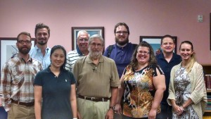
In June a group of early career scholars attended the workshop with two goals: (1) critique and revise the GeoSTEM modules, and (2) write test items that will become part of a geospatial thinking pre/post test that will be given to pre service and in service teachers. Research protocols will measure the gain in geospatial thinking among participating teachers.
A further extension of this approach will take place when in service teachers teach the GeoSTEM modules in their classes. Data will be collected to validate the RMTs and the items on the geospatial thinking test. A communication hub will be established to facilitate a sharing environment and to contribute to the growth of teacher leadership in geography using geospatial technology. This project will use video components in the RMTs, and as a means of contributing to the effectiveness of professional development. Because of ConnectEd and web site accessibility, the elements of this NCRGE project will be available to schools across the U.S.


Leave a Reply